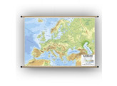
Maps of Europe (Physical)
Wall maps of Europe with relief illustration and other physical features
Traditionally, old maps showed mountain ranges in dark brown, so that the text was illegible. The legibility of this new map is remarkable. The text is in a large font, so it is very legible from a distance.
Multiple variants available: see below for an overview
Plasticised
Our wall charts are double-sided plasticised, writable and washable. With matt plastification so that there is no reflection.
Mounted
Mounted on sturdy wooden sticks at the top and bottom for hanging up in the classroom.


